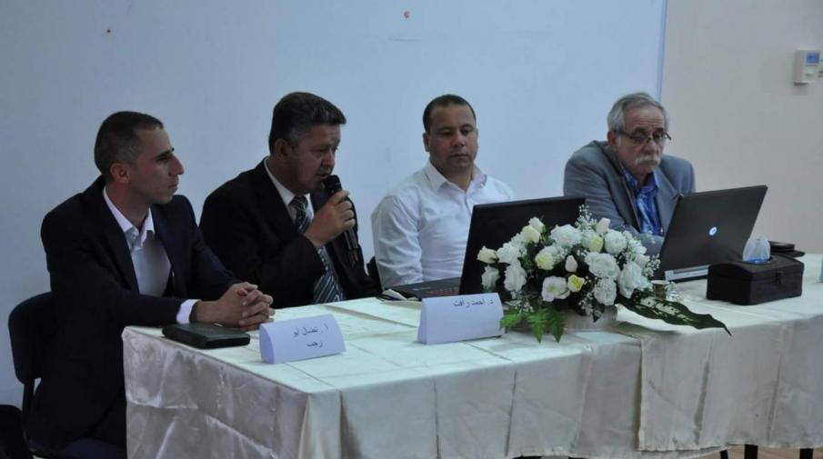
Lunching the Geographical Information Systems Day events at the Arab American University, organized by the Faculty of Engineering and Information Technology and attended by a number of universities, institutions and municipalities.
From the Geographical Information Systems Day events lunching
Faculty of Engineering and Information Technology Dean Dr. Mohammad Hamarsheh speech initiated the event. He stressed on GIS important role in our daily lives. Noting, AAUJ is keen to provide all necessary support to develop this program through attracting qualified expertise and prepare modern laboratories. Pointing, the university formed advisory committee to improve the program and review it after graduating its first batch of students next year, and graduate the best level students to keep up with the field’s rapid development.
Dr. Jacqueline Jubran, Head of Geographic Information Systems Department at the University, stressed on the specialization importance in documentation, presentation and analyze geographic information for decision-making and future planning. She also addressed the department expected outputs, future plans, training and capabilities, labs provided by the department for the GIS students.
Two scientific seminars followed the opening, the first lecturer moderated by Arab American University lecturer Dr. Faisal Sabah, Al-Najah University lecturers Dr. Ahmad Ghadya and Dr. Dorgham Shtayeh discussed GIS uses in planning for waste dumps in West Bank, the tools to choose their sites and the difficulties Palestinian faces in this regard. While Eng. Dorgham Abu Rajab from Polytechnic University of Palestine talked about GIS reality in the university, challenges it faced using geographic information systems, possibilities and future projects. Eng. Michael Yunan from Good Shepherd Engineering Company presented experiences of applying GIS in municipalities, the fields modern and advanced implementations.
Al-Najah University Lecturer Dr. Ahmad Ghadya moderated the second lecture. While Birzeit University Lecturer Dr. Abdallah Manasra discussed Israeli Obstacles impact on land uses in Palestine. As for Arab American University Computer Master student Mrs. Azhar Hamdan, she talked about using geographical information systems and hydrologic model to calculate water loss in intermittent water supply systems and Eng. Jamal Zitawi from Local Government Ministry talked about integrated work paths and its management with GIS technology to develop the electronic objections system for structural planning and assets system for municipalities. While Head of GIS Department at AAUJ Dr. Jaqueline Gobran discussed exploration information and geographical factors affecting real-estate prices using sophisticated theories.
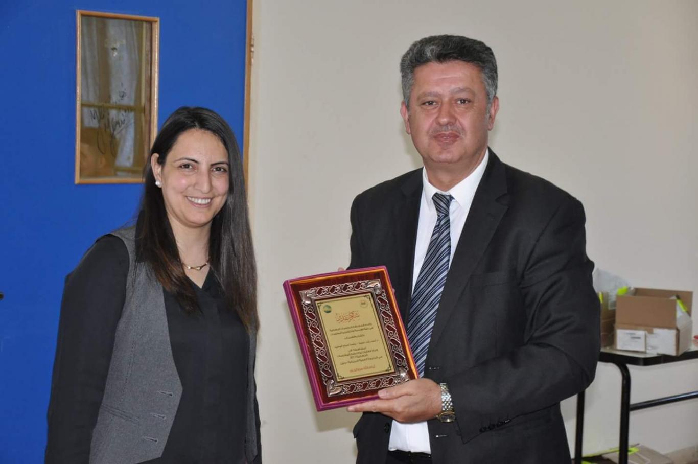
At the end, participants in the two lectures and every one helped in making this event happen, all of them were honored.


