| العنوان | التاريخ |
|---|---|
| An Advanced Geospatial Analysis Model of Real Estate Assets Based on a Neural Network Approach | |
| Geospatial Analysis Model of Real Estate and Land Management |
Main navigation
- الرئيسية
-
عن الجامعة
الصورة


امنح الجامعة
لمن يرغب بالتبرع للجامعة، يمكنكم تقديم تبرعاتكم من خلال تعبئة النموذج الخاص بالتبرعات
-
القبول والدراسة
الصورة


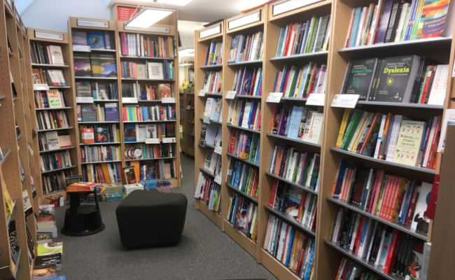
مكتبة الجامعة العربية الأمريكية
مكتبة متميزة على المستوى المحلي والعالمي من خلال توفير جميع اوعية المعلومات الالكترونية والورقية.
-
الحياة الجامعية
الصورة


قصص نجاح ملهمة من الجامعة العربية الأمريكية
النجاح يُمثّل قمة الإصرار في مواجهة الفشل. لذا، هذا ما سنشاركه معكم من قصص نجاح تكشف الطريق الذي سلكه بعض خريجو جامعتنا.
-
مراكز الجامعة
- مركز البحوث و إستطلاع الرأي
- مركز التغير المناخي
- مركز دراسات الصراع
- مركز التعليم المستمر
- مركز طب الأسنان
- مركز التعليم الإلكتروني
- مركز حسيب الصباغ للتميز
- مركز إنعاش القلب
- مركز اللغات
- المركز الطبي - رام الله
- المركز الوطني للتحول الرقمي والذكاء الاصطناعي
- مصنع الأطراف الصناعية والأجهزة المساعدة
- مركز المحاكاة
الصورة

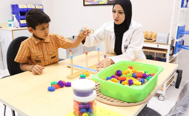
المجمع الطبي التأهيلي الجامعي
-
البحث العلمي
الصورة


جوائز الجامعة العربية الامريكية
ضمن جهود الجامعة لدعم البحث العلمي وتشجيعه مجموعة من الجوائز لتشجيع الباحثين بالتميز بإنتاجهم العلمي الأصيل والقيِّم
-
الأخبار والمركز الإعلامي
الصورة


التقويم الأكاديمي الجامعي
أجندة لإظهار التواريخ المهمة مثل تواريخ الفصل الدراسي والتسجيل والامتحانات والأنشطة والفعاليات والعطل الرسمية.
